
 St Helens Central 1.1 miles
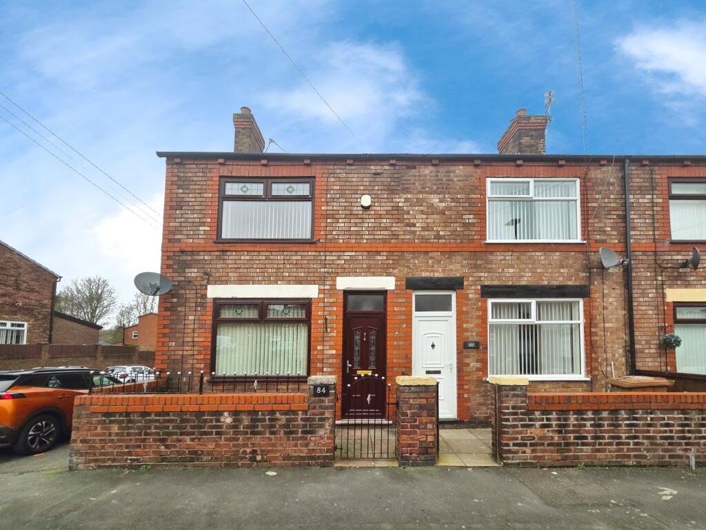
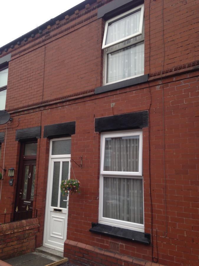
This 2-bedroom, inner-terraced property is located within the popular Newtown area of St Helens. With a proximity close to transport links, schools, shops and amenities, the property briefly comprises: Entrance vestibule through to lounge (12.7ft x 12.2ft) and dining room (12.7ft x 8.6ft) both with laminate wood-effect flooring. The kitchen (11.9ft x 6.7ft) is completed with a full range of wood-effect wall and base units with complementing countertops, integrated electric oven and gas hob. Ante-space leading to the family bathroom (6.7ft x 6ft) which is tiled and boasts a white 3-piece combination suite and shower over bath. There is one double and one single bedroom (front bedroom: 12.7ft x 10.8ft / rear bedroom: 10ft x 6.4ft) to the 1st storey, both benefitting from fitted carpets and neutral colour schemes. The property also has the advantage of an upstairs cloaks comprising hand washbasin and toilet. Other benefits include a low-maintenance rear courtyard and GCH & DG throughout. Viewing is recommended. Council Tax band A.
MATERIAL INTEREST FOR TENANTS
Council Tax Band: A
Rent: £795.00 per calendar month
Deposit for full property: £917.00 (equivalent of 5 weeks rent)
General construction details: 2 Story construction with slate roof
Utilities supplied to the property address: Gas /& electricity & water
Gas supplier and type of meter: E ON Next
Electric supplier and type of meter: E ON Next
Water supplier (meter or rateable value): United Utilities Rateable value
Drainage (mains sewer / septic tank / other): Mains Sewer
Heating: Heating and hot water Combination Boiler
Broadband:
Mobile signal / coverage:
Parking: Parking: Street (free)
Building Safety: N/A
Restrictions: N/A
Rights and easements: N/A
Flood risk: Flood map for planning - GOV.UK (flood-map-for-planning.service.gov.uk) (Flood Zone: 1 has a low probability of flooding from rivers and sea
Coastal erosion risk: National Coastal Erosion Risk Mapping (arcgis.com)
Planning permission / proposal for development:
Property accessibility / adaptations: None
Coalfield or mining areas: Interactive Map Viewer | Coal Authority (bgs.ac.uk)
 2
2
agent